Surveying
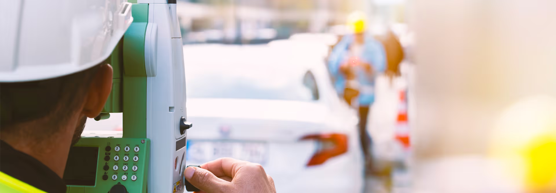
In order to georeference pipes, Inspecvision also offers its customers surveying services. Combined with scanner and drone services, you have access to a turnkey solution.
3 types of interventions
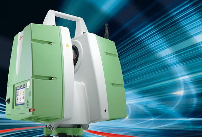
3D scanner
Georadar concrete scan and detection of underground pipes.
This revolutionary new method of ultra-fast 3D survey makes it possible to archive thousands of points per second. It is the perfect tool, whether for checking pipes, doing existing pre-project surveys, improving 3D design and presentation, etc.
The Géoradar concrete scanning technology that we use allows the detection of water pipes and underground electrical currents. In addition, we offer services for the location of pipes, underground infrastructures and the detection of buried pipes in public and/or private land.

Drone
Inspecvision has a surveying partner specialized in photogrammetry and surveillance using ultra-fast and accurate drones.
This new technology makes it possible to offer new services such as:
Airborne topographic surveys for quarries, pilings of reserves, mines, mines, roads, banks, swamps, erosions etc...
Orthomosaic
Oblique photos of the walls with excellent precision.
Digital terrain model
HD photo and video surveillance for structures, dams, wind turbines and gas pipelines.
3D modeling and volume calculation
Sectors/applications
Mining/Quarry
Energy
Environment
Civil engineering
Surveying
Thanks to state-of-the-art equipment, we can also accurately position and verify the positioning of pipes or other structures.