To georeference pipes, InspecVision also offers clients access to our surveying service. When combined with the scanner and drone services, you get a complete turnkey solution.
With our state-of-the-art equipment, we can accurately position and verify the location of conduits or other structures.
Concrete scanning with georadar technology and detecting underground conduits
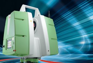
This new and revolutionary technique uses ultra-fast 3D surveying that can record thousands of points per second. It is the perfect tool, whether used for verifying conduits, conducting pre-project surveys, or to improve a design and 3D presentation, etc.
The georadar concrete scanning technology that we use allows us to detect underground water and electrical conduits. We can equally offer our service to anyone wishing to locate conduits and underground infrastructures, as well as detect buried pipe on public and/or private land.
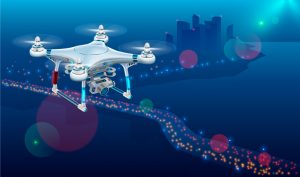
InspecVision has teamed up with a surveying partner who specializes in photogrammetry and surveillance by use of high-speed, ultra-precise drones.
This new technology allows us to offer new services such as: